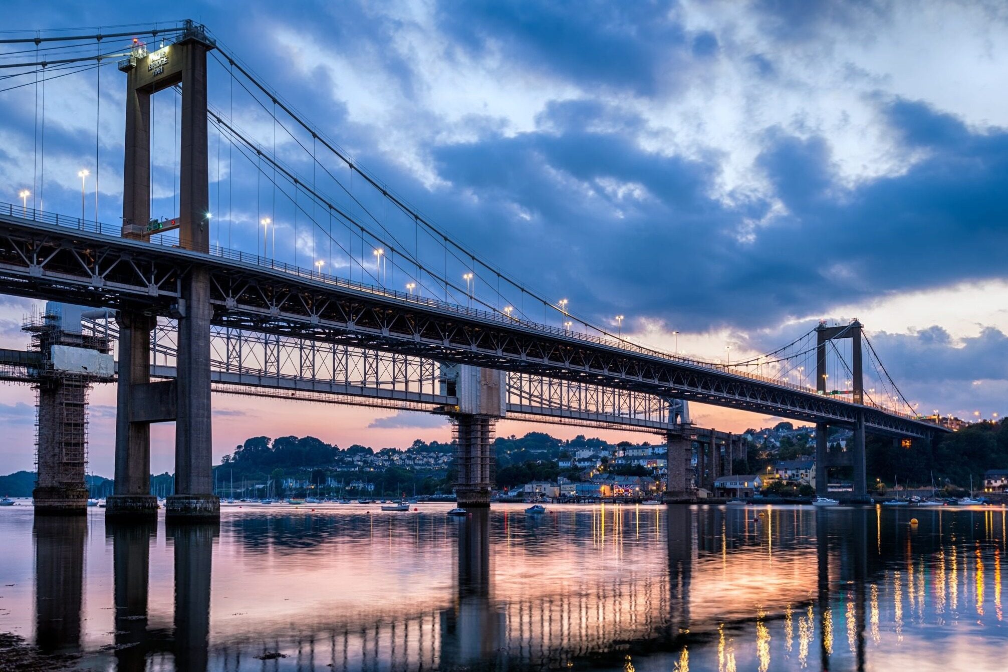
- The construction of the Honduras Bridge will greatly optimize the local transportation network layout

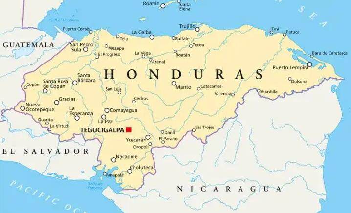
The land area of Honduras is approximately 112,000 square kilometers. Located in the northern part of Central America. It borders the Caribbean Sea to the north and Fonseca Bay to the Pacific to the south, Nicaragua and El Salvador to the east and south, and Guatemala to the west. Complex terrain and inconvenient transportation In order to build a richer transportation network, the Republic of Honduras plans to build a bridge project connecting Amapala Island

A new financing plan will help pay for Honduras' key bridge connection costs. The Honduran government seeks loans from the Central American Bank for Economic Integration (CABEI) to pay for work expenses.
The US$244 million loan will help pay for a two-kilometer-long bridge that connects the port of Cortez on the mainland of Honduras with the island of Amapala. This is to help improve traffic on Amapala Island, which currently relies heavily on ferry services. Amapala Island is a holiday resort whose purpose is to help promote tourism, as well as develop other industries on the island and promote its economic development. This work is part of a broader development plan for the Fonseca Bay area in Honduras.Editor/XingWentao
Comment
 Praise
 Collect
 Comment
 Search


Write something~