- Dali Prefecture in Yunnan plans to initially build a modern comprehensive transportation system by 2025
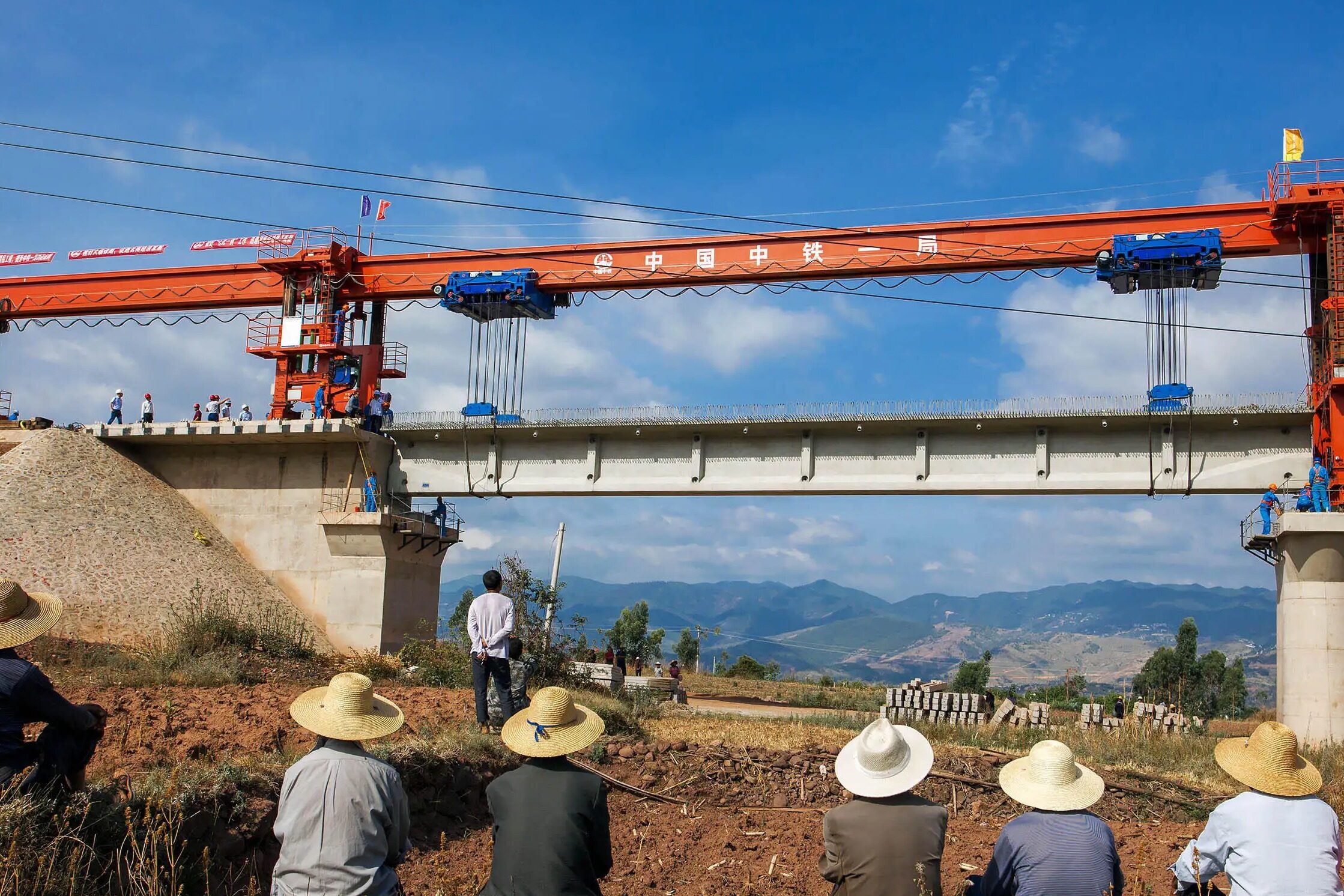
In order to speed up the process of building a strong transportation country and open up the main artery of economic development, the "14th Five-Year Plan" Comprehensive Transportation Development Plan of Dali Prefecture was announced recently. By 2035, Dali's status as a national comprehensive transportation hub will become more prominent, and a comprehensive transportation sub-hub in Yunnan Province will be built. The carrying capacity of the comprehensive transportation network will be significantly improved, and a modern comprehensive three-dimensional transportation network that is convenient, smooth, economical, efficient, green, intensive, intelligent, advanced, safe and reliable will be basically built. A well-developed express network, a complete trunk line network, and a broad basic network have been built to strongly support the "12343 travel traffic circle" (1-hour coverage of the Dali metropolitan area, 2-hour smooth travel in the state area, 3-hour access to major cities in the province, 4 Hourly access, 3-hour access to major cities in South Asia and Southeast Asia) and "113 Express Cargo Logistics Circle" (1-day domestic delivery, 1-day delivery to South Asia and Southeast Asian countries, and 3-day delivery to major global cities). The reliability, intelligence and green level of transportation infrastructure have entered the advanced ranks in the country, the people's satisfaction with transportation services has been significantly improved, and the ability to support modernization has been significantly enhanced.
The total scale of the whole state's comprehensive three-dimensional transportation network is about 43,400 kilometers. Among them, the total scale of railway network is about 1,190 kilometers, the total scale of rail transit is about 495 kilometers, the total scale of highway network is about 41,260 kilometers, the total scale of waterway is about 680 kilometers, the number of transport airports is 1, and the number of general airports has reached 12.
Railway network
It is planned to form a multi-channel smooth "five main and five auxiliary" railway network with Dali City as the center, high-speed railway as the skeleton, and ordinary speed railway as the supplement, with a total mileage of about 1,190 kilometers.
The "five main" means five high-speed railways. Guangtong-Dali new double line, Kunming-Chuxiong-Dali, China-Myanmar high-speed railway (Dali-Ruili), Dali-Lijiang-Panzhihua, Dali-Lincang, build Dali to central Yunnan urban agglomeration, Chengdu-Chongqing area twin-city economy It is a medium- and long-distance fast passenger and freight transportation channel connecting the two major international economic corridors of Bangladesh, China, India and Myanmar and China-Indochina Peninsula, mainly providing efficient, convenient and smooth transportation services across regions.
"Five Auxiliaries" means five ordinary speed railways. Guangtong-Dali, Dali-Lijiang, Dali-Lincang, Dali-Ruili, Shangguan-Lanping are the main trunk lines of bulk cargo transportation and an important support for the adjustment of transportation structure, serving major cargo distribution centers, mineral resource development areas, areas rich in tourism resources.
Four counties including Binchuan, Yunlong, Midu and Nanjian have set up "trackless railway stations" to connect road transportation with railway transportation.
Combined with the distribution and transportation demand analysis of industrial parks, logistics parks and large industrial and mining enterprises, plan the layout of special railway transportation lines such as Xiangyun County Dianxi Energy Building Materials Logistics Industrial Park, Xiangyun County Dianxi International Grain Logistics Industrial Park, etc. kilometer".
Rail
Promote the construction of urban rail transit. Construct 5 urban rail transit lines, including the Dali-Xiangyun line, the Dali-Weishan line, the Weishan-Xiangyun line, the Xiangyun-Binchuan line, and the Eryuan-Yangbi line, focusing on serving Dali , Xiangyun, Weishan, and Midu co-urbanized areas, as well as the transportation between groups, towns, and tourist attractions along the dual-core route, provide support and guarantee for the construction of a "1+6" central city in western Yunnan.
Promote the construction of urban rail transit. Construction of urban rail transit Line 1 (Wuliqiao - Dali Airport), Line 2 (Taihe Station - Line 1 Cangshan Road Station), Line 3 (Line 1 Hongshan Road Station - Line 1 Dali Airport Station) , Line 4 (Fengbei Road—Line 1 Zhonghe Station), Line 5 (Xiangyun Station of the Guangzhou Railway Double Line—Xinxing Village in Yiju New District), Line 6 (Wayao Village in the north of Xiangyun Old Town—Yunyi Town in Yunnan) , serving the central urban area of Dali, the central urban area of Xiangyun County and the surrounding large-volume urban bus passenger flow corridors, connecting the main functional areas of the central urban area. Construct 2 tourist rail lines around Erhai Lake, tourist rail pastoral sightseeing line (North Wuliqiao Station of Line 1 - Shangguan Town) and tourist rail Cang'er sightseeing line (Xiahe Station of Line 1 - Shangguan Town), which will be used for Erhai Lake. Tourism development provides high-quality transportation services.
Aviation Network
Improve the service capacity of civil transport airports. Strengthen the service guarantee capability of civil aviation transportation for "12343 travel traffic circle" and "113 fast cargo logistics circle". Dali Huangcaoba Airport is positioned as a regional aviation hub in Yunnan Province, with a planning level of 4E. Implement the reconstruction and expansion project of Dali Airport, enhance Dali's air transportation capacity of "serving western Yunnan, connecting the whole country and connecting the world", and build Dali Airport into an important international airport in western Yunnan that faces South Asia and Southeast Asia and radiates major cities across the country.
Improve the general airport layout. Encourage the development of general aviation operations in suitable Kuhu areas. Quanzhou plans to plan Binchuan A1-level general airport, Jianchuan A2-level general airport, Yangbi, Xiangyun, Midu, Nanjian, Weishan, Yongping, Yunlong, Eryuan, Heqing and other 9 A3-level general airports, basically realized General aviation flight "county-county" to improve air accessibility and improve the basic public service level of aviation.
Encrypted and expanded route network. Build an international, regional, domestic, and provincial-level airline network, increase the frequency of flights, expand and optimize domestic routes, and open and expand new routes to major cities such as Beijing, Shanghai, Guangzhou, Chongqing, Hangzhou, Wuhan, Qingdao, etc. The passenger source collection and distribution and function relief functions of the aviation sub-hub; enrich and improve the airline network in the province, increase the development of the circular flight routes in the province, and strive for air express lines between Kunming, Xishuangbanna, Dehong, Pu'er, Wenshan, Zhaotong and other places ; Reasonable layout of international routes, new and stable routes in South Asia and Southeast Asia, and building Dali into an important node for international and domestic long-distance routes and intra-provincial round-trip routes.
Water network
Taking into account the needs of social and economic development and the conditions for waterway development and construction, the planning and formation of a water transport infrastructure layout with "four backbone waterways and ten important ports" as the core. The total scale of the waterway planning is about 660 kilometers. The "four backbone waterways" are the Jinsha River waterway, the Lancang River waterway, the Heihui River waterway and the Erhai waterway. Regionally important waterways are the main stream of Micho River, Cibi Lake, Jianhu Lake, Xucun Power Station, and Dajiantang Reservoir. "Ten important ports" are Jianchuan Port, Eryuan Port, Yunlong Port, Yangbi Port, Yongping Port, Dali Port, Weishan Port, Nanjian Port, Heqing Port and Binchuan Port.
Road network
A highway network that meets the requirements of socialist modernization will be built in an all-round way. The expressway has the ability to cover the country in an all-round way, connect international and domestic, and connect administrative centers above the county level, 5A-level scenic spots, large-scale hubs and other nodes. The national and provincial trunk lines are linked, the basic public services are smooth and efficient, and the ordinary national and provincial roads cover all nodes above the county level, more than 80% of townships, transportation hubs, logistics nodes, border ports and cross-border economic cooperation zones, 4A-level and above scenic spots, important Economic Zone. The deep coverage basic network with rural roads as the main body covers villages and groups, all townships are connected to third-class roads, and natural villages with large population scales are connected to hardened roads. Keywords: infrastructure, infrastructure construction, domestic engineering news, planning and investment
highway. Promote the "replenishing the network, increasing the scale, expanding the capacity, and strengthening the level" of expressways, and speed up the formation of the "interconnected" expressway network layout. The mileage of the state-wide expressway network is about 1,900 kilometers. Editor / Xu Shengpeng
Comment
 Praise
 Collect
 Comment
 Search






Write something~