- Beijing will continue to implement 3 key projects of 100 cities and arrange 11 rail transit projects
- The long-term goal of Beijing's rail transit construction is 2,673 kilometers, and a large-capacity, fast and convenient rail transit system will be built, which will mainly serve urban construction areas
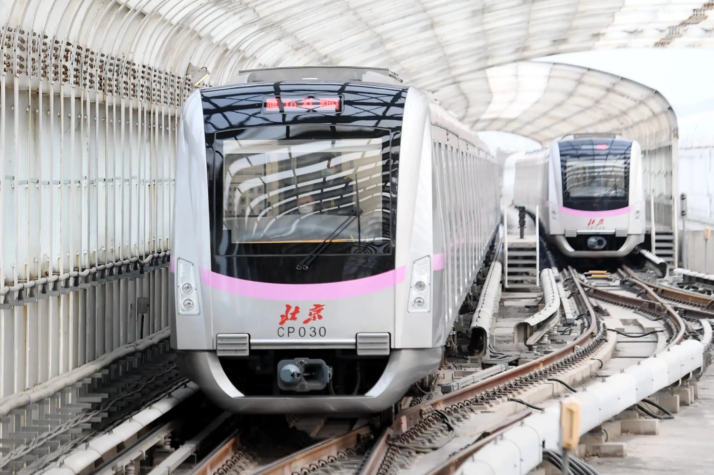
In order to meet the growing traffic demand, a reporter from Seedao.com learned from the Beijing Municipal Commission of Planning and Natural Resources on August 18, 2022 that the "Beijing Rail Transit Network Planning (2020-2035)" has been published in Recently approved by the municipal government, the planned network has a total scale of about 2,683 kilometers, including regional express lines and urban rail transit. Among them, the regional express line consists of 15 lines (sections) with a total mileage of about 1058 kilometers; urban rail transit consists of 38 lines with a total mileage of about 1625 kilometers.
Regional express line will exceed 1,000 kilometers
After nearly 60 years of development, Beijing Rail Transit has formed a super-large network of 783 kilometers of urban rail transit and 365 kilometers of urban (suburban) railways. In the new stage of development, the construction of a multi-level and efficient rail transit system under the leadership of the overall urban planning of Beijing is of great significance for supporting the high-quality development of the capital and promoting the coordinated development of Beijing, Tianjin and Hebei.
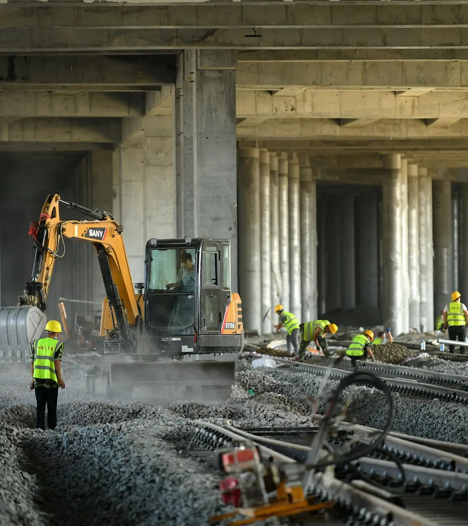
The planning plan shows that the Beijing rail transit network consists of regional express lines and urban rail transit, with a total planned network size of about 2,683 kilometers. Among them, regional express lines include suburban railway lines and new regional express lines, with a total mileage of about 1,058 kilometers; urban rail transit includes subway general lines, subway express lines, medium and low-volume lines, and airport special lines, with a total mileage of about 1,625 kilometers.
From the perspective of function, the regional express line (S line) is a rail transit mode that provides fast services between major nodes in the Beijing metropolitan area; the subway express line (R line) is the express line between the central city and the sub-center, and the multi-point new city and the central city. The leading rail transportation mode of contact, the line mainly serves the commuter passenger flow, and provides large-station express service; the subway line (M line) emphasizes high-density and public transportation services to meet the diversified travel needs of citizens and improve urban public transportation services. Level.
Focusing on the construction of "capital" and "city", the plan proposes to form a "four-network integration" of high-speed railway, regional express line, subway express line, and subway general line in different regions and levels, with three levels of national, regional and city levels. Hub-anchored planning network. Among them, the national passenger transport hubs mainly include Beijing North Railway Station, Beijing West Railway Station, Beijing South Railway Station, Beijing Railway Station, Fengtai Railway Station, Beijing Chaoyang Railway Station, City Sub-Central Station and Qinghe Railway Station.
Realize wire mesh surface coverage in the four rings
According to the idea of "intensification of the central city, increase of speed at the periphery, and connectivity across borders", the planning has formed a layout of "inner and outer corridors, speed first, cross-border linkage, and hub anchoring".
At the city level, the line network takes the form of "half-ring + radiation", forming a half-ring structure around the sub-center and multi-point new towns, and forming multiple radiation corridors around the central urban area; in the central urban area, it presents "double-ring chessboard + radiation" In the fourth ring, the area coverage is provided, and the peripheral group is the radial corridor service; in the sub-center of the city, the “ring + radiation” form is used to realize the surface coverage; in the multi-point area, the “one fast and one general” service is provided. Corridor-type services; mainly provide point-type services in ecological conservation areas and cross-border groups.
Specifically, the central urban area mainly improves the overall network service level by supplementing the structure, optimizing the connection, increasing the speed, and strengthening the transfer. The sub-center of the city strengthens the connection with the central city and the radiation drive to the new city and Beisan County, and at the same time strengthens the construction of the internal planar network. Multi-point areas give full play to the role of existing rail corridors, and in principle, provide "one fast and one general" rail service, and provide "two fast" conditions for key directions. The ecological conservation area adopts the composite service model of "suburban + intercity" to achieve efficient and green development.
The Beijing rail transit network will realize "one network" operation, forming multiple four-network interchange hubs. At the same time, by optimizing the efficient connection between railway stations and subways, and aligning with the operation standards of suburban railways and urban rail, it provides more convenient, multi-directional and efficient travel options.
Adhere to the city to follow the track
The planning goals are clear. It is necessary to insist that the city follow the track, increase the proportion of green travel, optimize the urban spatial structure and functional layout, and build Beijing-Tianjin-Hebei on the track and Beijing on the track.
Focusing on the people to improve service quality, the plan proposes to increase the proportion of rail travel in Beijing, and in the future, the proportion of green travel in the city will be more than 80%.
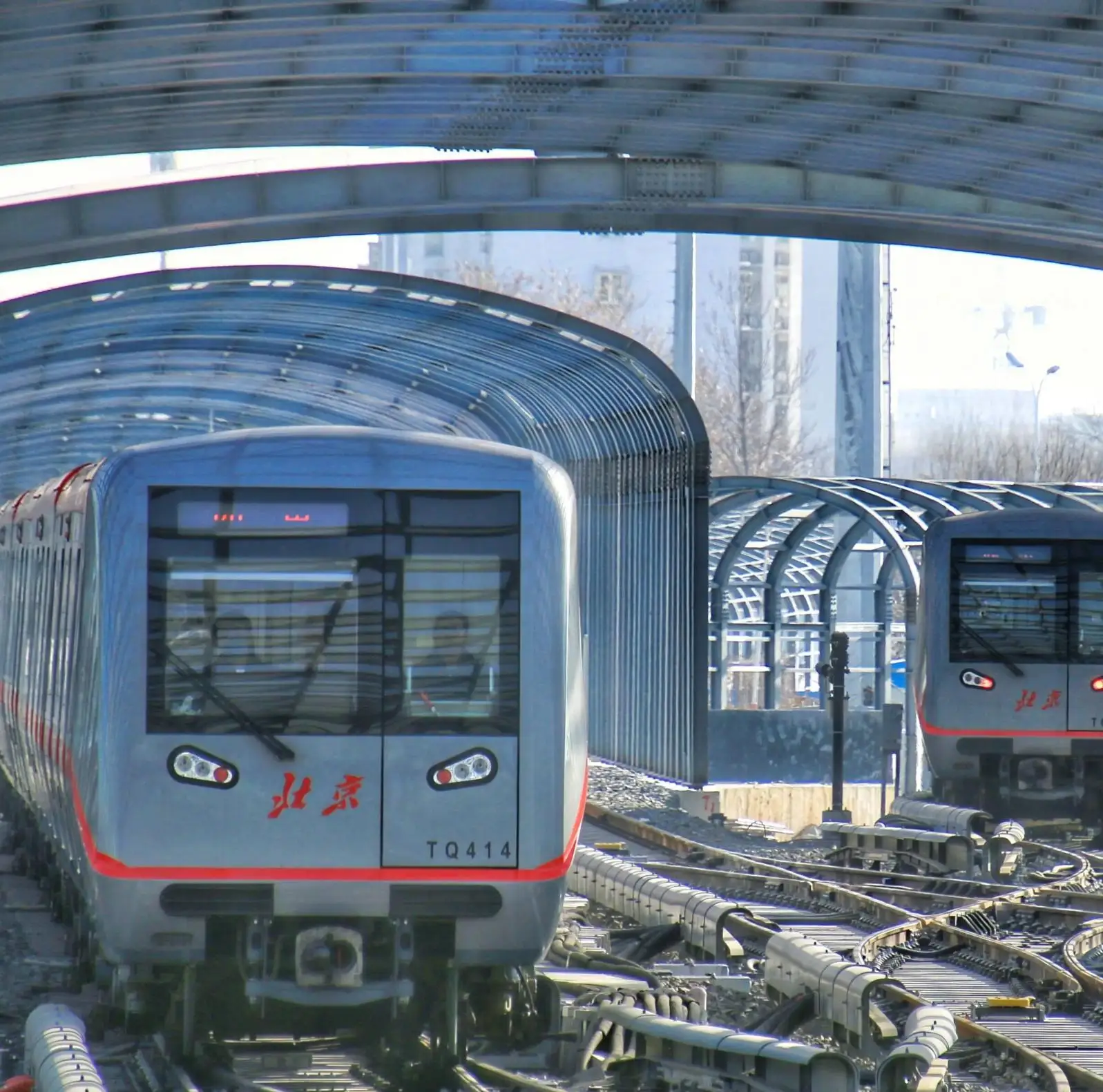
The rail transit network should improve the station coverage. The 800-meter range of the station should cover 50% of the city's residents and 56% of jobs, 71% of the residents and 76% of jobs in the central city, and 81% of the city's sub-centers. Residential population and 73% of jobs. To improve rail travel efficiency, it can be reached within 45 minutes within the central urban area, within 30 minutes from within the sub-center, between the main and sub-centers, and from multiple points to the central urban area; ecological conservation areas and cross-border groups can be reached within 1 hour from the main and sub-centers. Keywords: infrastructure, infrastructure construction, domestic engineering news, planning and investment
In addition, the plan proposes to cultivate the "rail + slow travel" and "rail + bus" travel modes around the station, and reasonably promote parking and transfer around stations with incomplete public transportation. Speed up the construction of slow-moving facilities around rail transit stations, and build a safe, convenient, continuous, comfortable and pleasant slow-moving environment. Editor / Xu Shengpeng
Comment
 Praise
 Collect
 Comment
 Search




Write something~