- Up to 60 billion cubic meters of water can be injected into northwestern China every year
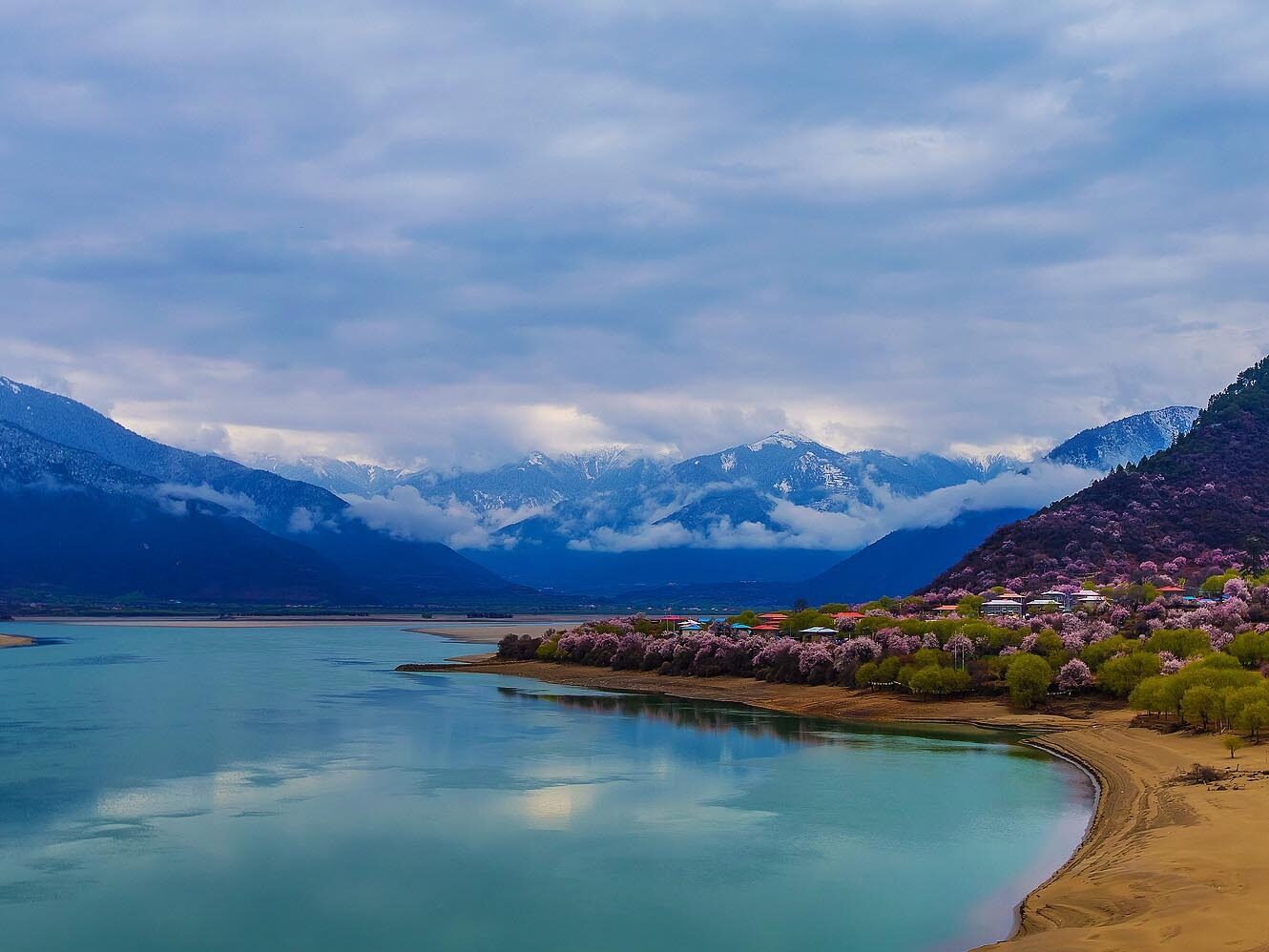
The land desertification in Xinjiang, Gansu, Ningxia and other places of China has been in a difficult situation. Every year, the state has to invest a lot of manpower and material resources to control sand. If an artificial river is built, the abundant water sources in Tibet will be brought to Xinjiang. To improve the ecological environment in Northwest China. The 14th Five-Year Plan once again mentions Tibetan water entering Xinjiang. This vision is very likely to become a reality when the country is strong in the future. What is even more exciting is that on the route of water diversion into Xinjiang, it is bound to pass through Lop Nur, which was once beautiful. Lop Nur is expected to appear in the world again.
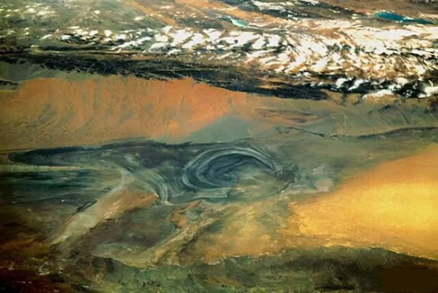
As for why Lop Nur can regain a new life by diverting water into Xinjiang, it has to start with how Lop Nur disappeared.
How did Lop Nur disappear?
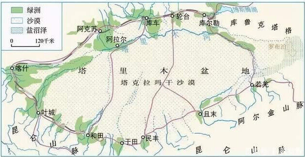
Lop Nur, the Mongolian transliteration name, means a lake where many waters gather. It is located at the easternmost end of the Tarim Basin in southeastern Xinjiang and belongs to the lowest end of the Tarim Basin. The overall average elevation of the Tarim Basin is between 800-1300 meters, while the altitude of Lop Nur is only It is 780 meters. From the topography, the Tianshan Mountains, Pamirs, Kunlun Mountains, and Qilian Mountains surrounding the Tarim Basin, the Tarim River, Kongque River, Cheerchen River, and Shule River, all gather here. This has also become The main reason why Lop Nur was once China’s second largest inland lake.
In the 1970s, as scientists investigated the shoreline of Lop Nur and combined with ancient records, the largest area of Lop Nur reached 5,350 square kilometers. It is not difficult to understand that when Zhang Sai was an envoy to the Western Regions, he would sigh with emotion when he evaluated Lop Nur. Three hundred miles in a vast expanse."
The demise of Loulan is inseparable from the water source. Loulan, which was originally prosperous, was rerouted by the Zhubin River in the middle reaches of the Tarim River after the Eastern Han Dynasty, which led to a significant reduction in the amount of water flowing into Lop Nur. Loulan, who had never been worried about water problems, had to rely on soldiers from many surrounding countries day and night. Flowing into the riverside to forcibly divert water to Loulan and dredging the middle reaches of the Tarim River did not eventually bring about the vitality of Loulan. Loulan civilization eventually fell due to lack of water.
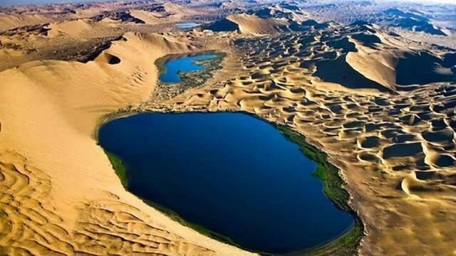
Without sufficient water sources, Lop Nur will gradually dry up, but the geographical location and altitude of Lop Nur determine that as long as there is water injection, Lop Nur can still be rejuvenated. At the end of the Qing Dynasty, Lop Nur became a small lake of eighty to ninety miles from east to west and one or two miles from north to south. In 1921, the Tarim River was diverted to the east. Lop Nur replenished enough water sources. By 1950, the area of Lop Nur lake had reached. 2000 square kilometers.
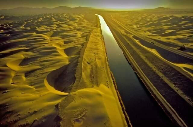
But the good times did not last long. With the founding of New China, the wave of western development came to the Tarim River Basin. A large number of river reclamations and reservoirs were built. In addition, the population on both sides of the Tarim River increased sharply. The increasing water demand eventually reached the Tarim River. The upper reaches of the Tarim River, 320 kilometers of dry rivers appeared in the lower reaches of the Tarim River, and Lop Nur was fatally hit. As the area of Lop Nur was rapidly receding, the ecological environment of the lower Tarim River changed drastically. Populus euphratica died due to lack of water. The soil is replaced by sand and gravel.
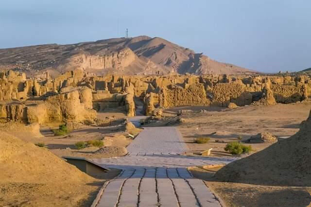
The last Lop Nur lake was covered by wind and sand, and now there is the "Sea of Death". Lop Nur in the wind and sand has been waiting for the water to come again, but there is little hope of relying on the Tarim River.
Tibetan water into Xinjiang
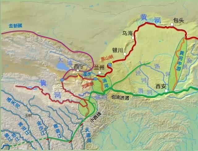
The entry of Tibetan water into Xinjiang actually refers to the water transfer program in western China, that is, the Hongqi River Project. This project will bypass the Qinghai-Tibet Plateau and inject the abundant and low-utilization water sources in the southeast of the Qinghai-Tibet Plateau, such as the Yarlung Zangbo River, Nujiang River, and Lancang River. In the middle reaches of the Hongqi River in the northwest, this plan relies on the high and low artesian topography to realize independent water transfer. It can inject up to 60 billion cubic meters of water into northwestern China every year. The total investment scale reaches 4 trillion yuan, and the flowing land passes through Lop Nur. At that time, Lop Nur must recover again.
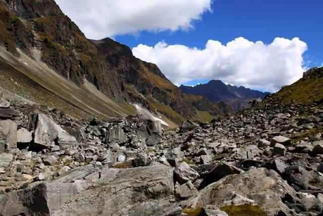
The advantages of the Hongqi River Project are self-evident. The main reason for the slow development of Northwest China is also inseparable from the lack of water. In addition to benefiting Xinjiang, the Hongqi River Project also benefits Gansu, Shaanxi, and western Inner Mongolia. The role of land promotion, a Hongqi River project, affects one-sixth of China's land area, which is why such a huge investment project has been mentioned all the time.
However, the Hongqi River Project has been continuously questioned since its proposal. The reason is that the water transfer of the Hongqi River Project involves the interests of neighboring countries. Although the utilization rate of the water flowing to the southeast is very low for China, it still has a great impact on India and other countries and is not conducive to China’s advocacy. The spirit of a community with a shared future for mankind.
In addition to the external environmental impact, on the entire 6188-kilometer water transfer line under planning, a large number of tunnels must be built due to the influence of a large number of rivers and mountains. A total of 136 tunnels need to be built, and the total length of the tunnels is up to At 2,337 kilometers, one of the longest tunnels has reached 55 kilometers in length, and it is located on the edge of the Qinghai-Tibet Plateau, with frequent geological activities. How to ensure that the tunnel remains intact during the earthquake and the riverbed seepage is still a very huge problem.
There is also the most realistic point. Where does the 4 trillion project funds come from? At this stage, China is still focusing on investment and construction. The fiscal revenue in 2020 is about 18 trillion, but the corresponding fiscal expenditure has reached 24.7 trillion. The huge amount of investment in the Three Gorges Project is about 207.8 billion yuan, which is less than 5% of the Hongqi River project budget. It can be said that even if a solution to the geological problem is found, China will need a long accumulation of funds to achieve it.
Nowadays, the Hongqi River project mentioned again in the 14th Five-Year Plan is supported and opposed by others. However, once the project is successfully implemented, the ecological impact will still outweigh the disadvantages. At present, although the technology and capital are not allowed to be so vast However, for the infrastructure madman, no matter how difficult it is, it is only a matter of time. Editor/He Yuting
Comment 1
Write something~
 Praise
 Collect
 1
1
 Search




Seetao Praise
How does Tibetan water diversion affect the Yangtze, Mekong, Salween and Brahmaputra rivers?